
Latest Episode : 2025/12/1 delivery

Location Information Awards 2025 Nominees
LBMA Japan, a general incorporated association, will be hosting the 3rd Location Information Awards 2025 to recognize noteworthy initiatives by member companies that utilize location data, such as those that have "popularized location-based business, marketing, and services" or "made a social impact." This award aims to contribute to market growth and revitalization, and also to honor these achievements.
The LBMA Japan Board of Directors selected five Excellence Award winners from among the applications submitted, including those self-nominated and recommended by member companies.
The winner will be announced on December 15th, following a member vote.
Season 3: Archived Episodes:


.png)


.png)


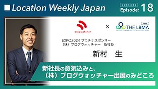
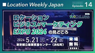
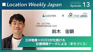
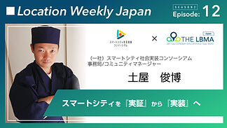
Season 2: Archived Episodes:


.png)


Location Weekly Japan is a podcast run by LBMA Japan (Location Business & Marketing Japan), a general incorporated association that promotes business marketing services using location data. Every week, we interview management and business personnel from member companies, introduce the latest examples of location data usage, and share notable events around the world, as well as behind-the-scenes stories that can only be heard here.
As we are an organization with many IT-related members, you will hear a lot of foreign words, but in this podcast we will introduce examples of how location data is being used in a way that is as easy to understand as possible, so please feel free to listen.
MC: Kuniyuki Kawashima (Representative Director of LBMA Japan)
Updated every Monday.